Seymour Community Schools will be serving free hot meals this summer to any children in the community.
The meals program is going on at Seymour Middle School, Seymour High School and Margaret Brown Elementary and is open to area kids, 18 and younger.
The longest active site will be at the middle school from Monday, June wnd through July 25th, Mondays through Fridays. Breakfast will be served from 8 to 9 a.m. at the school and lunch from 11 a.m. to 1 p.m. the meal site will be closed on July 4th
The program at the high school will be from Monday through June 27th. Breakfast there will be from 7:30 a.m. to 8:30 a.m. and Lunch from 11 to 12:30.
At Margaret Brown Elementary, meals will be available from Monday through June 20th. Breakfasts will be from 8 to 9 a.m. and lunch from 11 a.m. to noon.
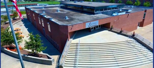
Seymour Community Schools will also have a meal pickup program, where you can get a week’s worth of breakfasts and lunches to take home. You must register in advance for the first pickup and the deadline is coming up on Monday. You will need to register each Monday by 9 a.m. for the next pickup. The pickup site will be at Seymour Intermediate School from noon to 2 p.m. on Thursdays.
The goal is to ensure children are well fed and ready to enjoy their summer, according to organizers.